Sainte-Vaubourg | |
|---|---|
) The town hall in Sainte-Vaubourg | |
Location of Sainte-Vaubourg 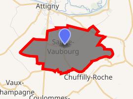 | |
) Sainte-Vaubourg ) Sainte-Vaubourg | |
| Coordinates: 49°27′42″N 4°35′24″E / 49.4617°N 4.59°E | |
| Country | France |
| Region | Grand Est |
| Department | Ardennes |
| Arrondissement | Vouziers |
| Canton | Attigny |
| Intercommunality | Crêtes Préardennaises |
| Government | |
| • Mayor (2008–2014) | Chantal Carpentier |
| Area 1 | 6.91 km2 (2.67 sq mi) |
| Population (Jan. 2017)[1] | 87 |
| • Density | 13/km2 (33/sq mi) |
| Time zone | UTC+01:00 (CET) |
| • Summer (DST) | UTC+02:00 (CEST) |
| INSEE/Postal code | 08398 /08130 |
| Elevation | 89–110 m (292–361 ft) (avg. 100 m or 330 ft) |
| 1 French Land Register data, which excludes lakes, ponds, glaciers > 1 km2 (0.386 sq mi or 247 acres) and river estuaries. | |
Sainte-Vaubourg is a commune in the Ardennes department in northern France.
Population
| Year | Pop. | ±% |
|---|---|---|
| 1962 | 93 | — |
| 1968 | 116 | +24.7% |
| 1975 | 117 | +0.9% |
| 1982 | 93 | −20.5% |
| 1990 | 102 | +9.7% |
| 1999 | 92 | −9.8% |
| 2008 | 97 | +5.4% |
See also
References
- ^ "Populations légales 2017". INSEE. Retrieved 6 January 2020.