Saint-Pierre-d'Irube Hiriburu | |
|---|---|
) The church of Saint-Pierre-d'Irube | |
Location of Saint-Pierre-d'Irube 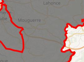 | |
) Saint-Pierre-d'Irube ) Saint-Pierre-d'Irube | |
| Coordinates: 43°28′38″N 1°27′28″W / 43.4772°N 1.4578°W | |
| Country | France |
| Region | Nouvelle-Aquitaine |
| Department | Pyrénées-Atlantiques |
| Arrondissement | Bayonne |
| Canton | Nive-Adour |
| Intercommunality | CA Pays Basque |
| Government | |
| • Mayor (2008–2014) | Alain Iriart |
| Area 1 | 7.68 km2 (2.97 sq mi) |
| Population (Jan. 2017)[1] | 4,844 |
| • Density | 630/km2 (1,600/sq mi) |
| Demonym(s) | Saint-Pierrots, Hiriburuar |
| Time zone | UTC+01:00 (CET) |
| • Summer (DST) | UTC+02:00 (CEST) |
| INSEE/Postal code | 64496 /64990 |
| Elevation | 0–146 m (0–479 ft) (avg. 37 m or 121 ft) |
| 1 French Land Register data, which excludes lakes, ponds, glaciers > 1 km2 (0.386 sq mi or 247 acres) and river estuaries. | |
Saint-Pierre-d'Irube (Basque Hiriburu) is a village in the traditional Basque province of Labourd, now a commune in the Pyrénées-Atlantiques department in south-western France.
See also
References
- ^ "Populations légales 2017". INSEE. Retrieved 6 January 2020.
External links