Saint John River High Level Crossing | |
|---|---|
| Coordinates | 45°50′07″N 66°11′09″W / 45.8354°N 66.1858°W |
| Carries | (Trans-Canada Highway) |
| Crosses | Saint John River |
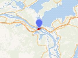
| Locale | Coytown, New Brunswick |
| Characteristics | |
| Total length | 1,000 metres (3,300 ft) |
| Height | 60 metres (200 ft) |
| Longest span | 120 metres (390 ft) |
| No. of lanes | 4 |
| History | |
| Construction end | 2001 |
| Opened | October 2002 |
| Location | |
 | |
| References | |
| [1][2] | |
The Saint John River High Level Crossing is a steel girder bridge crossing the Saint John River at Coytown, New Brunswick, Canada.
Completed in 2001 and opened to the public in October 2002, the bridge carries 4 lanes of the realigned Route 2 (Trans-Canada Highway).[2] Total length is 1000 m (0.61 mile) with multiple spans resting on concrete piers. The centre span is 120 m (400 ft) with an airdraft clearance of 60 m (200 ft) for navigational traffic.[1] It was built by the Maritime Road Development Corporation as part bg of a 230 km (140 mi) toll highway project..
References
- ^ a b "Saint John River High-Level Crossing (Coystown, 2001)". Structurae. Retrieved December 16, 2019.
- ^ a b "Saint-John and Jemseg bridges". Grands Projets. VINCI Construction. Retrieved December 16, 2019.