Opdorp | |
|---|---|
Village | |
 Geographical centre of Flanders, Belgium | |
| Coordinates: 51°01′39″N 4°13′13″E / 51.02744°N 4.22040°E | |
| Country | |
| Region | Flemish Region |
| Province | East Flanders |
| Municipality | Buggenhout |
| Area | |
| • Total | 5 km2 (2 sq mi) |
| Population (2001)[1] | |
| • Total | c.2000 |
| Time zone | CET |
Opdorp is one of the three towns making up the municipality of Buggenhout in East Flanders, Belgium. Sometimes it's classified in the Denderstreek.
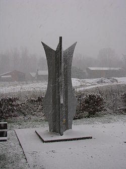
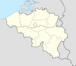
Opdorp is at the geographical centre of Flanders, Belgium. It is also the point at which three provinces meet: Brabant, Antwerp, and East Flanders.[2]
See also
References
- ^ a b "Opdorp in cijfers". Opdorp (in Dutch). Retrieved 26 October 2020.
- ^ "Middelpuntwandeling te Opdorp". Pasar (in Dutch). Retrieved 26 October 2020.
External links
 Media related to Opdorp at Wikimedia Commons
- Official site (in Dutch)
