Obing | |
|---|---|
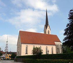
 Church of Saint Lawrence | |
| Coordinates: 48°0′N 12°25′E / 48.000°N 12.417°E | |
| Country | Germany |
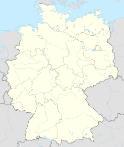
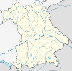
| State | Bavaria |
| Admin. region | Oberbayern |
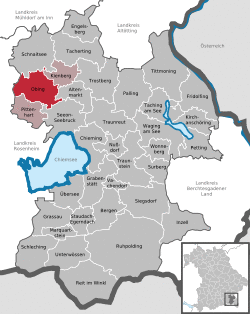
| District | Traunstein |
| Municipal assoc. | Obing |
| Subdivisions | 60 Ortsteile |
| Government | |
| • Mayor | Josef Huber (FW) |
| Area | |
| • Total | 43.75 km2 (16.89 sq mi) |
| Elevation | 562 m (1,844 ft) |
| Population (2019-12-31)[1] | |
| • Total | 4,332 |
| • Density | 99/km2 (260/sq mi) |
| Time zone | UTC+01:00 (CET) |
| • Summer (DST) | UTC+02:00 (CEST) |
| Postal codes | 83119 |
| Dialling codes | 08624 |
| Vehicle registration | TS |
| Website | www.obing.de |
Obing is a municipality in the district of Traunstein in Bavaria, Germany.
References
- ^ "Tabellenblatt "Daten 2", Statistischer Bericht A1200C 202041 Einwohnerzahlen der Gemeinden, Kreise und Regierungsbezirke". Bayerisches Landesamt für Statistik und Datenverarbeitung (in German). July 2020.


