Monte San Vito | |
|---|---|
| Comune di Monte San Vito | |
) Coat of arms | |
Location of Monte San Vito 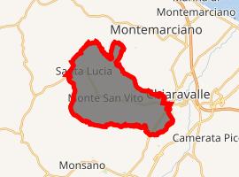 | |
) Monte San Vito Location of Monte San Vito in Italy ) Monte San Vito Monte San Vito (Marche) | |
| Coordinates: 43°36′N 13°16′E / 43.600°N 13.267°E | |
| Country | Italy |
| Region | Marche |
| Province | Ancona (AN) |
| Frazioni | Borghetto, Le Cozze, Santa Lucia |
| Government | |
| • Mayor | Sabrina Sartini |
| Area | |
| • Total | 21.6 km2 (8.3 sq mi) |
| Elevation | 137 m (449 ft) |
| Population (28 February 2009)[2] | |
| • Total | 6,544 |
| • Density | 300/km2 (780/sq mi) |
| Demonym(s) | Monsanvitesi |
| Time zone | UTC+1 (CET) |
| • Summer (DST) | UTC+2 (CEST) |
| Postal code | 60037 |
| Dialing code | 071 |
| Website | Official website |
Monte San Vito is a comune (municipality) in the Province of Ancona in the Italian region Marche, located about 20 kilometres (12 mi) west of Ancona, in the lower Esino valley.
Monte San Vito borders the following municipalities: Chiaravalle, Jesi, Monsano, Montemarciano, Morro d'Alba, San Marcello, Senigallia.
References
- ^ "Superficie di Comuni Province e Regioni italiane al 9 ottobre 2011". Istat. Retrieved 16 March 2019.
- ^ "Popolazione Residente al 1° Gennaio 2018". Istat. Retrieved 16 March 2019.
External links