Montarlot | |
|---|---|
Part of Moret-Loing-et-Orvanne | |
Location of Montarlot 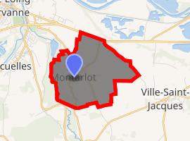 | |
) Montarlot ) Montarlot | |
| Coordinates: 48°21′00″N 2°51′00″E / 48.35°N 2.8499°E | |
| Country | France |
| Region | Île-de-France |
| Department | Seine-et-Marne |
| Arrondissement | Fontainebleau |
| Canton | Montereau-Fault-Yonne |
| Commune | Moret-Loing-et-Orvanne |
| Area 1 | 5.21 km2 (2.01 sq mi) |
| Population (2017)[1] | 247 |
| • Density | 47/km2 (120/sq mi) |
| Time zone | UTC+01:00 (CET) |
| • Summer (DST) | UTC+02:00 (CEST) |
| Postal code | 77250 |
| Elevation | 55–107 m (180–351 ft) |
| 1 French Land Register data, which excludes lakes, ponds, glaciers > 1 km2 (0.386 sq mi or 247 acres) and river estuaries. | |
Montarlot is a former commune in the Seine-et-Marne department in the Île-de-France region in north-central France. On 1 January 2016 it was merged into the new commune of Moret-Loing-et-Orvanne.[2]
See also
References
- ^ Téléchargement du fichier d'ensemble des populations légales en 2017, INSEE
- ^ Arrêté préfectoral 29 October 2015 (in French)
External links
- 1999 Land Use, from IAURIF (Institute for Urban Planning and Development of the Paris-Île-de-France région) (in English)
- Base Mérimée: Search for heritage in the commune, Ministère français de la Culture. (in French)