Liverdun | |
|---|---|
) The Moselle river in Liverdun | |
) Coat of arms | |
Location of Liverdun 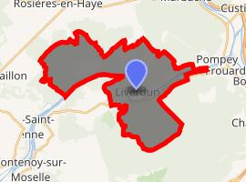 | |
) Liverdun ) Liverdun | |
| Coordinates: 48°44′59″N 6°03′44″E / 48.7497°N 6.0623°E | |
| Country | France |
| Region | Grand Est |
| Department | Meurthe-et-Moselle |
| Arrondissement | Toul |
| Canton | Le Nord-Toulois |
| Intercommunality | Bassin de Pompey |
| Area 1 | 25.25 km2 (9.75 sq mi) |
| Population (Jan. 2017)[1] | 6,087 |
| • Density | 240/km2 (620/sq mi) |
| Time zone | UTC+01:00 (CET) |
| • Summer (DST) | UTC+02:00 (CEST) |
| INSEE/Postal code | 54318 /54460 |
| Elevation | 203–325 m (666–1,066 ft) (avg. 204 m or 669 ft) |
| 1 French Land Register data, which excludes lakes, ponds, glaciers > 1 km2 (0.386 sq mi or 247 acres) and river estuaries. | |
Liverdun is a commune in the Meurthe-et-Moselle department in north-eastern France.
See also
References
- ^ "Populations légales 2017". INSEE. Retrieved 6 January 2020.