Kapra | |
|---|---|
| Coordinates: 17°29′14″N 78°34′43″E / 17.48722°N 78.57861°E | |
| Country | |
| State | Telangana |
| District | Medchal-Malkajgiri |
| City | Hyderabad |
| Population (2011)[1] | |
| • Total | 32,108 |
| Languages | |
| • Official | Telugu |
| Time zone | UTC+5:30 (IST) |
| Telephone code | 040 |
| Vehicle registration | TS-08 |
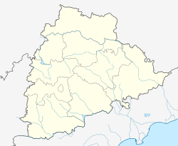
Kapra is a neighbourhood of Hyderabad city. It falls under Medchal-Malkajgiri district of the Indian state of Telangana and serves as the mandal headquarters of Kapra mandal in Keesara revenue division.[2] It is administered as Ward No. 1 of Greater Hyderabad Municipal Corporation.[1]
Geography
Kapra is located at 17°29′N 78°34′E / 17.49°N 78.57°E.[3]
References
- ^ a b "Delimitation of Election Wards" (PDF). Greater Hyderabad Municipal Corporation. Archived from the original (PDF) on 10 November 2011. Retrieved 12 June 2017.
- ^ "Medchal−Malkajgiri district" (PDF). New Districts Formation Portal. Archived from the original (PDF) on 30 November 2016. Retrieved 11 October 2016.
- ^ Falling Rain Genomics, Inc – Kapra

