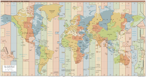
In general, an imaginary line is usually any sort of geometric line that has only an abstract definition and does not physically exist. In fact, they used to properly identify places on a map.
Some outside geography do exist, such as the Mendoza Line, which in baseball divides below-average hitters and extremely poor hitters. A centerline is a nautical term for line down the center of a vessel lengthwise.
Examples
Geography
As a geographical concept, an imaginary line may serve as an arbitrary division, such as
- Antarctic Circle,
- Arctic Circle,
- Border,
- International Date Line,
- Latitude, including the Equator,
- Longitude, the prime meridian, the Tropic of Capricorn and the Tropic of Cancer.[1] Any axis about which an object spins is an imaginary line.
- Mason–Dixon line, which informally marks pieces of the borders of four U.S. states: Delaware, Maryland, Pennsylvania, and West Virginia, once part of Virginia. Symbolically, the line separates the American North from the American South,
- Missouri Compromise Line,
- Time zones.
Science and engineering
- Line of sight
- Optical ray
- Force lines in mechanical and structural engineering
- Field lines for electric and magnetic fields
See also
References
- ^ Rosenberg, Matt (January 26, 2020). "Major Lines of Latitude and Longitude on a World Map".
