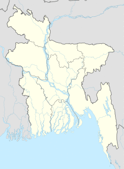
Gaibandha Sadar গাইবান্ধা সদর | |
|---|---|
| Coordinates: 25°19.5′N 89°37.7′E / 25.3250°N 89.6283°E | |
| Country | |
| Division | Rangpur Division |
| District | Gaibandha District |
| Area | |
| • Total | 320.25 km2 (123.65 sq mi) |
| Population (2011) | |
| • Total | 437,268[1] |
| Time zone | UTC+6 (BST) |
| Website | Official Map of Gaibandha Sadar |
Gaibandha Sadar (Bengali: গাইবান্ধা সদর) is an upazila of Gaibandha District in the Division of Rangpur Division, Bangladesh.[2]
Geography
Gaibandha Sadar is located at 25°19′30″N 89°37′40″E / 25.3250°N 89.6278°E. It has 68,483 households and a total area of 320.25 km2.
Demographics
According to the 1991 Bangladesh census, Gaibandha Sadar had a population of 359,226, of whom 172,249 were aged 18 or over. Males constituted 50.6% of the population, and females 49.4%. Gaibandha Sadar had an average literacy rate of 28.2% (7+ years), against the national average of 32.4% .[3]
Administration
Gaibandha Sadar Upazila is divided into Gaibandha Municipality and 13 union parishads: Badiakhali, Ballamjhar, Boali, Ghagoa, Gidari, Kamarjani, Kholahati, Kuptola, Laxmipur, Malibari, Mollarchar, Ramchandrapur, and Shahapara. The union parishads are subdivided into 130 mauzas and 144 villages.[4]
Gaibandha Municipality is subdivided into 9 wards and 35 mahallas.[4]
Education
Ahammad Uddin Shah Shishu Niketon School & College, founded in 1982 is a significant educational institution. & according to Banglapedia, Gaibandha Government Boys' High School, founded in 1885, is a notable secondary school.[2]
See also
References
- ^ "Gaibandha Sadar (Subdistrict (Upazila), Bangladesh) - Population Statistics and Location in Maps and Charts". citypopulation.de.
- ^ a b Sabu, Abu Jafar (2012). "Gaibandha Sadar Upazila". In Islam, Sirajul; Jamal, Ahmed A. (eds.). Banglapedia: National Encyclopedia of Bangladesh (Second ed.). Asiatic Society of Bangladesh.
- ^ "Population Census Wing, BBS". Archived from the original on 2005-03-27. Retrieved November 10, 2006.
- ^ a b "District Statistics 2011: Gaibandha" (PDF). Bangladesh Bureau of Statistics. Archived from the original (PDF) on 13 November 2014. Retrieved 14 July 2014.
