Wikipedia

Chapada do Araripe

Chapada do Araripe

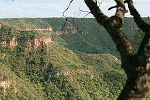
The Chapada do Araripe, also known as the Serra do Araripe, is a chapada (plateau) in northeastern Brazil. The chapada forms the boundary of Ceará and Pernambuco states, and forms the watershed between the Jaguaribe River of Ceará, which flows northward into the Atlantic, and the much larger basin of the São Francisco River of Pernambuco and neighboring states, which drains eastward into the Atlantic. The Santana Formation, which is rich with fossils from the early Cretaceous, lies at the base of the chapada. The Araripe manakin (Antilophia bokermanni), a bird only described in 1998, is endemic to Chapada do Araripe.

Etymology

The word "Araripe" stems from the Tupi word ararype, meaning "macaw at the river" (arara, macaw + 'y, river + pe, at).[1]

References

  1. ^ NAVARRO, E. A. Dicionário de tupi antigo: a língua indígena clássica do Brasil. São Paulo. Global. 2013. p. 545.
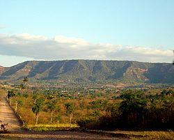
Belmonte
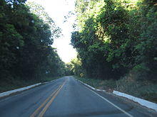
Araripe-Apodi National Forest
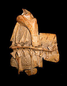
The shoulder girdle of Anhanguera santanae of the Santana formation, Brazil

This article is copied from an article on Wikipedia® - the free encyclopedia created and edited by its online user community. The text was not checked or edited by anyone on our staff. Although the vast majority of Wikipedia® encyclopedia articles provide accurate and timely information, please do not assume the accuracy of any particular article. This article is distributed under the terms of GNU Free Documentation License.

Copyright © 2003-2025 Farlex, Inc Disclaimer
All content on this website, including dictionary, thesaurus, literature, geography, and other reference data is for informational purposes only. This information should not be considered complete, up to date, and is not intended to be used in place of a visit, consultation, or advice of a legal, medical, or any other professional.