Wikipedia

Ayoun el Atrous

Ayoun el Atrous
Rural Ayoun el Atrous
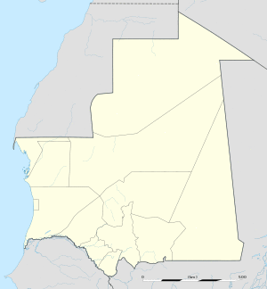
Ayoun el Atrous is located in Mauritania
Ayoun el Atrous
Ayoun el Atrous
Location in Mauritania
Coordinates: 16°40′N 9°37′W / 16.667°N 9.617°W
CountryFlag of Mauritania.svg Mauritania
RegionHodh El Gharbi
Elevation
259 m (850 ft)
Population
(2000)
 • Total11,867

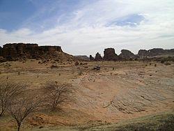
Ayoun al Atrous (also known as Aioun el Atrouss) (Arabic: عيون العتروس‎) is a town in southern Mauritania. It is located at around 16°40′0″N 9°37′0″W / 16.66667°N 9.61667°W. It is the capital of Hodh El Gharbi region. The city is served by the Aioun el Atrouss Airport, 6 kilometres (4 mi) north-west of the city. The town is located in the southern area of the Aoukar, a former lake basin.[1]

Ayoun al Atrous was one of the stops in the 2007 Dakar Rally.
References

This article is copied from an article on Wikipedia® - the free encyclopedia created and edited by its online user community. The text was not checked or edited by anyone on our staff. Although the vast majority of Wikipedia® encyclopedia articles provide accurate and timely information, please do not assume the accuracy of any particular article. This article is distributed under the terms of GNU Free Documentation License.

Copyright © 2003-2025 Farlex, Inc Disclaimer
All content on this website, including dictionary, thesaurus, literature, geography, and other reference data is for informational purposes only. This information should not be considered complete, up to date, and is not intended to be used in place of a visit, consultation, or advice of a legal, medical, or any other professional.