Viola | |
|---|---|
| Coordinates: 36°34′23″N 93°34′56″W / 36.57306°N 93.58222°W | |
| Country | United States |
| State | Missouri |
| County | Barry and Stone Counties |
| Founded | 1894 |
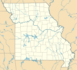
Viola is an unincorporated community on Route 39 on the border between Barry and Stone counties in the U.S. state of Missouri.[1] Viola is also situated adjacent to Table Rock Lake between the Kings River arm to the west and the main White River portion of the lake to the north.[2]
The Stone County portion of Viola is part of the Branson, Missouri Micropolitan Statistical Area.
A post office was established on the Barry County side at Viola in 1893, and remained in operation until 1974.[3] The community was named after an unidentified local girl.[4]
References
- ^ U.S. Geological Survey Geographic Names Information System: Viola, Missouri
- ^ Missouri Atlas & Gazetteer, DeLorme, 1998, First edition, p. 61, ISBN 0-89933-224-2
- ^ "Post Offices". Jim Forte Postal History. Retrieved 30 August 2016.
- ^ "Barry County, Missouri Place Names, 1928-1945 | The State Historical Society of Missouri". shsmo.org. Retrieved 2019-08-04.
