Tréhorenteuc Trec'horanteg | |
|---|---|
) The town hall in Tréhorenteuc | |
Location of Tréhorenteuc 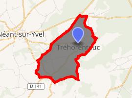 | |
) Tréhorenteuc ) Tréhorenteuc | |
| Coordinates: 48°00′33″N 2°17′11″W / 48.0092°N 2.2864°W | |
| Country | France |
| Region | Brittany |
| Department | Morbihan |
| Arrondissement | Pontivy |
| Canton | Ploërmel |
| Intercommunality | Mauron en Brocéliande |
| Government | |
| • Mayor (2020–2026) | Michel Gortais[1] |
| Area 1 | 5.42 km2 (2.09 sq mi) |
| Population (Jan. 2017)[2] | 122 |
| • Density | 23/km2 (58/sq mi) |
| Time zone | UTC+01:00 (CET) |
| • Summer (DST) | UTC+02:00 (CEST) |
| INSEE/Postal code | 56256 /56430 |
| Elevation | 69–155 m (226–509 ft) |
| 1 French Land Register data, which excludes lakes, ponds, glaciers > 1 km2 (0.386 sq mi or 247 acres) and river estuaries. | |
Tréhorenteuc (Breton: Trec'horanteg) is a commune in the Morbihan department of Brittany in north-western France. Inhabitants of Tréhorenteuc are called in French Tréhorentais.
See also
References
- ^ "Maires du Morbihan" (PDF). Préfecture du Morbihan. 7 July 2020.
- ^ "Populations légales 2017". INSEE. Retrieved 6 January 2020.
External links
- Base Mérimée: Search for heritage in the commune, Ministère français de la Culture. (in French)
- Mayors of Morbihan Association (in French)