| Geography | |
|---|---|
| Coordinates | 47°00′13″N 80°07′13″W / 47.00361°N 80.12028°W[1] |
| Adjacent bodies of water | Lake Temagami |
| Highest elevation | 316 m (1037 ft)[2] |
| Administration | |
Canada | |
| Province | Ontario |
| District | Nipissing |
| Municipality | Temagami |
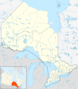
Sand Point is a cape at the entrance to the northwest arm of Lake Temagami in geographic Joan Township[3] in the municipality of Temagami, Nipissing District in Northeastern Ontario, Canada.[1] The cape has a large sandy beach on its south side, and a small campground on its east side. The cape lies within the Skyline Reserve ecological reserve.[4]
References
- ^ a b "Sand Point". Geographical Names Data Base. Natural Resources Canada. Retrieved 2012-09-07.
- ^ At coordinates, per Google Earth.
- ^ "Joan" (PDF). Geology Ontario - Historic Claim Maps. Ontario Ministry of Northern Development, Mines and Forestry. Retrieved 2012-09-06.
- ^ Booth, Brian (2006-06-21). "Northwest Arm (draft)". Lake Temagami Atlas. Ottertooth.com. Retrieved 2012-09-07.
Other map sources:
- Map 12 (PDF) (Map). 1 : 1,600,000. Official road map of Ontario. Ministry of Transportation of Ontario. 2010-01-01. Retrieved 2012-09-07.
- Restructured municipalities - Ontario map #4 (Map). Restructuring Maps of Ontario. Ontario Ministry of Municipal Affairs and Housing. 2006. Retrieved 2012-09-07.
