Sainte-Colombe-près-Vernon | |
|---|---|
) The church in Sainte-Colombe-près-Vernon | |
) Coat of arms | |
Location of Sainte-Colombe-près-Vernon 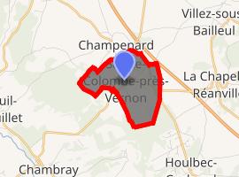 | |
) Sainte-Colombe-près-Vernon ) Sainte-Colombe-près-Vernon | |
| Coordinates: 49°05′50″N 1°20′21″E / 49.0972°N 1.3392°E | |
| Country | France |
| Region | Normandy |
| Department | Eure |
| Arrondissement | Les Andelys |
| Canton | Pacy-sur-Eure |
| Government | |
| • Mayor (2008–2014) | Jean-Pierre Courel |
| Area 1 | 2.69 km2 (1.04 sq mi) |
| Population (Jan. 2017)[1] | 309 |
| • Density | 110/km2 (300/sq mi) |
| Time zone | UTC+01:00 (CET) |
| • Summer (DST) | UTC+02:00 (CEST) |
| INSEE/Postal code | 27525 /27950 |
| Elevation | 85–135 m (279–443 ft) (avg. 140 m or 460 ft) |
| 1 French Land Register data, which excludes lakes, ponds, glaciers > 1 km2 (0.386 sq mi or 247 acres) and river estuaries. | |
Sainte-Colombe-près-Vernon is a commune in the Eure department in the Normandy region in northern France.
Population
| Year | Pop. | ±% |
|---|---|---|
| 1962 | 86 | — |
| 1968 | 90 | +4.7% |
| 1975 | 102 | +13.3% |
| 1982 | 168 | +64.7% |
| 1990 | 221 | +31.5% |
| 1999 | 197 | −10.9% |
| 2008 | 253 | +28.4% |
See also
References
- ^ "Populations légales 2017". INSEE. Retrieved 6 January 2020.