Saint-Martin-le-Châtel | |
|---|---|
) The church in Saint-Martin-le-Châtel | |
Location of Saint-Martin-le-Châtel 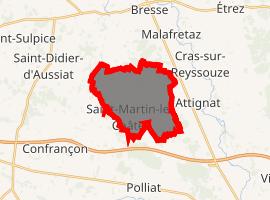 | |
) Saint-Martin-le-Châtel ) Saint-Martin-le-Châtel | |
| Coordinates: 46°16′58″N 5°06′59″E / 46.2828°N 5.1164°E | |
| Country | France |
| Region | Auvergne-Rhône-Alpes |
| Department | Ain |
| Arrondissement | Bourg-en-Bresse |
| Canton | Attignat |
| Intercommunality | CA Bassin de Bourg-en-Bresse |
| Government | |
| • Mayor (2008–2014) | Dominique Liebaud |
| Area 1 | 12.77 km2 (4.93 sq mi) |
| Population (Jan. 2017)[1] | 787 |
| • Density | 62/km2 (160/sq mi) |
| Time zone | UTC+01:00 (CET) |
| • Summer (DST) | UTC+02:00 (CEST) |
| INSEE/Postal code | 01375 /01310 |
| Elevation | 197–225 m (646–738 ft) |
| 1 French Land Register data, which excludes lakes, ponds, glaciers > 1 km2 (0.386 sq mi or 247 acres) and river estuaries. | |
Saint-Martin-le-Châtel is a commune in the Ain department in eastern France.
Population
|
|
See also
References
- ^ "Populations légales 2017". INSEE. Retrieved 6 January 2020.