Saint-Étienne-de-Tinée | |
|---|---|
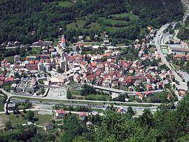
 A view of the village from the hillside to the east | |
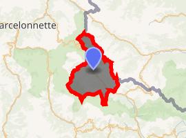
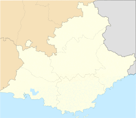
Location of Saint-Étienne-de-Tinée  | |
| Coordinates: 44°15′28″N 6°55′31″E / 44.2578°N 6.9253°E | |
| Country | France |
| Region | Provence-Alpes-Côte d'Azur |
| Department | Alpes-Maritimes |
| Arrondissement | Nice |
| Canton | Tourrette-Levens |
| Intercommunality | Métropole Nice Côte d'Azur |
| Government | |
| • Mayor (2008–2014) | Thérèse Fabron |
| Area 1 | 173.81 km2 (67.11 sq mi) |
| Population (Jan. 2017)[1] | 1,531 |
| • Density | 8.8/km2 (23/sq mi) |
| Time zone | UTC+01:00 (CET) |
| • Summer (DST) | UTC+02:00 (CEST) |
| INSEE/Postal code | 06120 /06660 |
| Elevation | 949–3,027 m (3,114–9,931 ft) (avg. 1,142 m or 3,747 ft) |
| 1 French Land Register data, which excludes lakes, ponds, glaciers > 1 km2 (0.386 sq mi or 247 acres) and river estuaries. | |
Saint-Étienne-de-Tinée (Italian: Santo Stefano di Tinea) is a commune in the Alpes-Maritimes department in southeastern France.
It was part of the historic County of Nice until 1860.
The ski resort of Auron is located on the territory of the commune, and linked to the village of Saint-Étienne-de-Tinée directly by a gondola lift.
Population
| Year | Pop. | ±% |
|---|---|---|
| 1962 | 1,505 | — |
| 1968 | 1,549 | +2.9% |
| 1975 | 1,700 | +9.7% |
| 1982 | 1,780 | +4.7% |
| 1990 | 1,783 | +0.2% |
| 1999 | 1,528 | −14.3% |
| 2008 | 1,324 | −13.4% |
See also
References
- ^ "Populations légales 2017". INSEE. Retrieved 6 January 2020.
External links
.svg.gif)

