Wikipedia

Picton Road, New South Wales

Picton Road

General information
TypeRoad
Length37 km (23 mi)
Route number(s)
  • B88
  • Entire Route
Former
route number
  • State Route 88 (Unknown to 2013)
  • Entire Route
Major junctions
West endRemembrance Drive,
Picton, New South Wales
Hume Motorway
East end Princes Motorway
Wollongong, New South Wales

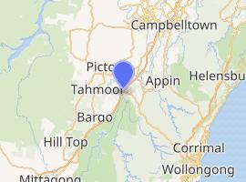
Picton Road[1] is a New South Wales highway linking Picton and Wollongong. It provides an important link between the Hume and Princes motorways. From Picton, the highway runs in the southeastern direction, crosses the Hume Highway and continues over grass-forested ranges east of Wilton (passing through Sydney Water Catchment areas) until it meets Mount Ousley Road (Princes Motorway) which leads to Wollongong or Helensburgh.

See also

  • Appin Road
  • List of New South Wales highways
  • List of Australian highways

References

  1. ^ Map of Picton Road, NSW, Bonzle Digital Atlas of Australia. Retrieved on 17 February 2009.


This article is copied from an article on Wikipedia® - the free encyclopedia created and edited by its online user community. The text was not checked or edited by anyone on our staff. Although the vast majority of Wikipedia® encyclopedia articles provide accurate and timely information, please do not assume the accuracy of any particular article. This article is distributed under the terms of GNU Free Documentation License.

Copyright © 2003-2025 Farlex, Inc Disclaimer
All content on this website, including dictionary, thesaurus, literature, geography, and other reference data is for informational purposes only. This information should not be considered complete, up to date, and is not intended to be used in place of a visit, consultation, or advice of a legal, medical, or any other professional.