Ouffières | |
|---|---|
) A general view of Ouffières | |
Location of Ouffières 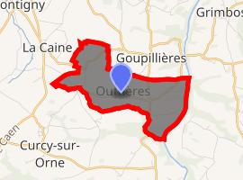 | |
) Ouffières ) Ouffières | |
| Coordinates: 49°01′28″N 0°29′24″W / 49.0244°N 0.49°W | |
| Country | France |
| Region | Normandy |
| Department | Calvados |
| Arrondissement | Caen |
| Canton | Thury-Harcourt |
| Intercommunality | Suisse Normande |
| Government | |
| • Mayor (2008–2014) | Serge Deschamps |
| Area 1 | 4.21 km2 (1.63 sq mi) |
| Population (Jan. 2017)[1] | 189 |
| • Density | 45/km2 (120/sq mi) |
| Time zone | UTC+01:00 (CET) |
| • Summer (DST) | UTC+02:00 (CEST) |
| INSEE/Postal code | 14483 /14220 |
| Elevation | 15–182 m (49–597 ft) (avg. 19 m or 62 ft) |
| 1 French Land Register data, which excludes lakes, ponds, glaciers > 1 km2 (0.386 sq mi or 247 acres) and river estuaries. | |
Ouffières is a commune in the Calvados department in the Normandy region in northwestern France.
Population
| Year | Pop. | ±% |
|---|---|---|
| 1962 | 122 | — |
| 1968 | 118 | −3.3% |
| 1975 | 109 | −7.6% |
| 1982 | 135 | +23.9% |
| 1990 | 161 | +19.3% |
| 1999 | 158 | −1.9% |
| 2008 | 184 | +16.5% |
See also
References
- ^ "Populations légales 2017". INSEE. Retrieved 6 January 2020.