Osuské | |
|---|---|
Municipality | |
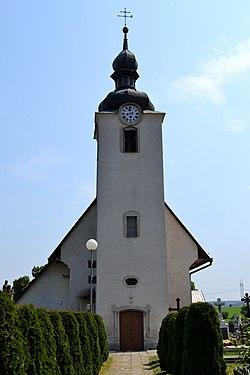
 Church in Osuské | |
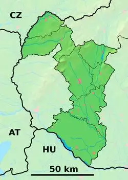
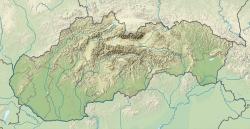
Location of Osuské in the Trnava Region | |
| Coordinates: 48°38′N 17°26′E / 48.633°N 17.433°E | |
| Country | Slovakia |
| Region | Trnava |
| District | Senica |
| First mentioned | 1262 |
| Area | |
| • Total | 11.607 km2 (4.481 sq mi) |
| Elevation | 218 m (715 ft) |
| Population | |
| • Total | 614 |
| • Density | 53/km2 (140/sq mi) |
| Postal code | 906 12 (pošta Hradište pod Vrátnom) |
| Area code(s) | +421-34 |
| Car plate | SE |
| Website | www.osuske.sk |
Osuské is a village and municipality in Senica District in the Trnava Region of western Slovakia. There is a Catholic church first mentioned in 1468 with an organ rebuilt in 1844. Osuské was well known by a unique costume used especially at Mass on Sunday or in celebration time until the middle of the 20th century.
History
In historical records the village was first mentioned in 1262.
Geography
The municipality lies at an altitude of 218 metres and covers an area of 11.607 km2. It has a population of about 614 people.
External links
![]() Media related to Osuské at Wikimedia Commons
Media related to Osuské at Wikimedia Commons

