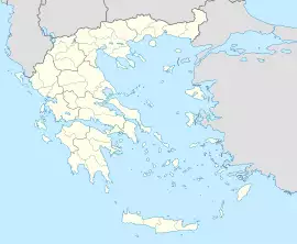
Moira Μοίρα | |
|---|---|
| Coordinates: 38°9′N 21°51′E / 38.150°N 21.850°E | |
| Country | Greece |
| Administrative region | West Greece |
| Regional unit | Achaea |
| Municipality | Patras |
| Municipal unit | Patras |
| Community | |
| • Population | 65 (2011) |
| Time zone | UTC+2 (EET) |
| • Summer (DST) | UTC+3 (EEST) |
Moira (Greek: Μοίρα) is a village located southeast of Patras, Greece. Moira had a population of 65 in 2011. Moira was part of the municipality of Patras between 1845 and 1912, and again after 1997. Between 1912 and 1997, it was an independent community.[2]
Geography
Moira is situated in the valley of the river Glafkos. The Panachaiko mountain lies to the northeast.
Population
| Year | Population village | Municipal district population |
|---|---|---|
| 1981 | 165 | - |
| 1991 | 134 | - |
| 2001 | 43 | 73 |
| 2011 | 51 | 65 |
External links
See also
- List of settlements in Achaea
References
- ^ a b "Απογραφή Πληθυσμού - Κατοικιών 2011. ΜΟΝΙΜΟΣ Πληθυσμός" (in Greek). Hellenic Statistical Authority.
- ^ "EETAA local government changes". Retrieved 26 June 2020.
