| Møysalen | |
|---|---|
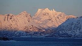
 Møysalen seen from south-west | |
| Highest point | |
| Elevation | 1,262 m (4,140 ft) |
| Prominence | 1,262 m (4,140 ft) |
| Isolation | 61.4 to 61.6 km (38.2 to 38.3 mi) |
| Listing | #17 in Norway by prominence |
| Coordinates | 68°31′34″N 15°27′08″E / 68.5260°N 15.4521°E [1] |
| Naming | |
| English translation | "The Maidens' Hall" or "The Maidens' Saddle" |
| Geography | |
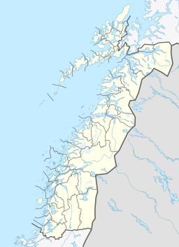
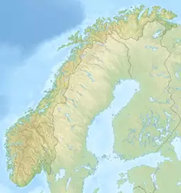
| Location | Nordland, Norway |
| Topo map | 1231 IV Raftsundet and 1232 III Sortland |
Møysalen is a mountain in Nordland county, Norway. It is located on the border of the municipalities of Sortland and Lødingen. At 1,262 metres (4,140 ft) tall, it is the highest mountain on the island of Hinnøya and the second highest mountain on any island in Norway. The mountain is located within Møysalen National Park, about 10 kilometres (6.2 mi) straight east of the villages of Hennes and Kaljord in Hadsel Municipality.[2]
Name
The name derives from the Norwegian words "møy", which translates to maiden, and "sal", which can be translated into either saddle or hall. South of the peak is two smaller peaks, named Lille Møya (The Small Maiden) and Store Møya (The Big Maiden), which according to local folklore were two troll maidens that were turned into stone. Møysalen is either the saddle or the roof of the hall of these two maidens.
See also
- List of mountains in Norway by prominence
References
- ^ "Møysalen, Lødingen (Nordland)" (in Norwegian). yr.no. Retrieved 2018-12-31.
- ^ Store norske leksikon. "Møysalen" (in Norwegian). Retrieved 2012-06-12.

