Le Vey | |
|---|---|
_et_if_funéraire.jpg')) The church in Le Vey | |
Location of Le Vey 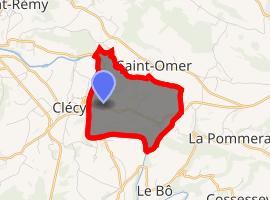 | |
) Le Vey ) Le Vey | |
| Coordinates: 48°55′04″N 0°28′10″W / 48.9178°N 0.4694°W | |
| Country | France |
| Region | Normandy |
| Department | Calvados |
| Arrondissement | Caen |
| Canton | Thury-Harcourt |
| Intercommunality | Cingal-Suisse Normande |
| Government | |
| • Mayor (2008–2014) | Pierre Brisset |
| Area 1 | 3.53 km2 (1.36 sq mi) |
| Population (Jan. 2017)[1] | 117 |
| • Density | 33/km2 (86/sq mi) |
| Time zone | UTC+01:00 (CET) |
| • Summer (DST) | UTC+02:00 (CEST) |
| INSEE/Postal code | 14741 /14570 |
| Elevation | 32–264 m (105–866 ft) (avg. 260 m or 850 ft) |
| 1 French Land Register data, which excludes lakes, ponds, glaciers > 1 km2 (0.386 sq mi or 247 acres) and river estuaries. | |
Le Vey is a commune in the Calvados department in the Normandy region in northwestern France.
Population
| Year | Pop. | ±% |
|---|---|---|
| 1962 | 108 | — |
| 1968 | 104 | −3.7% |
| 1975 | 96 | −7.7% |
| 1982 | 88 | −8.3% |
| 1990 | 66 | −25.0% |
| 1999 | 71 | +7.6% |
| 2008 | 85 | +19.7% |
See also
References
- ^ "Populations légales 2017". INSEE. Retrieved 6 January 2020.