Kensington Road | |
|---|---|
west end east end 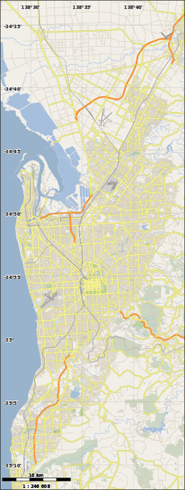 | |
| Coordinates | |
| General information | |
| Type | Road |
| Location | Adelaide |
| Length | 6.2 km (3.9 mi) |
| Major junctions | |
| west end | Britannia Roundabout, |
| east end | Skye Lookout, Wattle Park |
| Location(s) | |
| LGA(s) | Norwood Payneham & St Peters, Burnside |
| Major suburbs | Norwood, Rose Park, Toorak Gardens, Kensington, Marryatville, Kensington Park, Leabrook, Kensington Gardens, Erindale, Rosslyn Park, Wattle Park |
Kensington Road is a main road in the South Australian capital city of Adelaide.[1] It serves the eastern suburbs, primarily the northern side of the City of Burnside and the southern side of the City of Norwood, Payneham & St Peters. Its western end, on the edge of the city centre, is at the Britannia Roundabout on the City Ring Route. Kensington Road continues into the city centre as Wakefield Road
Major intersections
| LGA | Location[2] | km[3] | mi | Destinations | Notes |
|---|---|---|---|---|---|
| Adelaide, Norwood Payneham & St Peters, Burnside | Adelaide, Kent Town, Norwood, Rose Park | 0 | 0.0 | Britannia Roundabout on the City Ring Route, continues as Wakefield Road | |
| Norwood Payneham & St Peters, Burnside | Norwood, Rose Park, Toorak Gardens | 0.8 | 0.50 | Osmond Terrace and Prescott Terrace | |
| Norwood Payneham & St Peters, Burnside | Norwood, Kensington, Toorak Gardens, Marryatville | 1.6 | 0.99 | ||
| Burnside | Wattle Park | 6.2 | 3.9 | Skye Lookout | |
| 1.000 mi = 1.609 km; 1.000 km = 0.621 mi | |||||
References
- ^ 2003 Adelaide Street Directory, 41st Edition. UBD (A Division of Universal Press Pty Ltd). 2003. ISBN 0-7319-1441-4.
- ^ "Property Location Browser". Department of Planning, Transport and Infrastructure, Government of South Australia. Archived from the original on 12 October 2016. Retrieved 22 August 2016.
- ^ Google (22 August 2016). "Kensington Road" (Map). Google Maps. Google. Retrieved 22 August 2016.