Wikipedia

Fell, Rhineland-Palatinate

Fell
Fell (Mosel).JPG
Coat of arms of Fell
Coat of arms
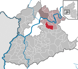
Location of Fell within Trier-Saarburg district
Fell in TR.svg
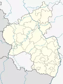
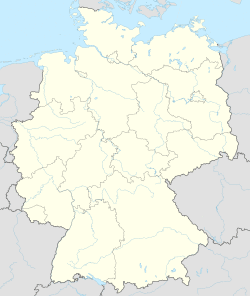
Fell is located in Germany
Fell
Fell
Fell is located in Rhineland-Palatinate
Fell
Fell
Coordinates: 49°46′29″N 6°46′48″E / 49.77472°N 6.78000°E
CountryGermany
StateRhineland-Palatinate
DistrictTrier-Saarburg
Municipal assoc.Schweich
Government
 • MayorHelmut Schneiders (SPD)
Area
 • Total15.73 km2 (6.07 sq mi)
Elevation
165 m (541 ft)
Population
(2019-12-31)[1]
 • Total2,421
 • Density150/km2 (400/sq mi)
Time zoneUTC+01:00 (CET)
 • Summer (DST)UTC+02:00 (CEST)
Postal codes
54341
Dialling codes06502
Vehicle registrationTR

Fell is a municipality in the Trier-Saarburg district of Rhineland-Palatinate, Germany.

Near Fell there is the Slate mine Fell and the Feller Bach, joining the Moselle River.

References

  1. ^ "Bevölkerungsstand 2019, Kreise, Gemeinden, Verbandsgemeinden". Statistisches Landesamt Rheinland-Pfalz (in German). 2020.

This article is copied from an article on Wikipedia® - the free encyclopedia created and edited by its online user community. The text was not checked or edited by anyone on our staff. Although the vast majority of Wikipedia® encyclopedia articles provide accurate and timely information, please do not assume the accuracy of any particular article. This article is distributed under the terms of GNU Free Documentation License.

Copyright © 2003-2025 Farlex, Inc Disclaimer
All content on this website, including dictionary, thesaurus, literature, geography, and other reference data is for informational purposes only. This information should not be considered complete, up to date, and is not intended to be used in place of a visit, consultation, or advice of a legal, medical, or any other professional.