Empfingen | |
|---|---|
) Coat of arms | |
Location of Empfingen 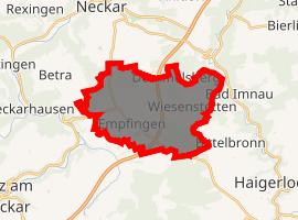 | |
) Empfingen ) Empfingen | |
| Coordinates: 48°23′32″N 8°42′43″E / 48.39222°N 8.71194°E | |
| Country | Germany |
| State | Baden-Württemberg |
| Admin. region | Karlsruhe |
| District | Freudenstadt |
| Government | |
| • Mayor | Albert Schindler |
| Area | |
| • Total | 18.29 km2 (7.06 sq mi) |
| Elevation | 496 m (1,627 ft) |
| Population (2019-12-31)[1] | |
| • Total | 4,103 |
| • Density | 220/km2 (580/sq mi) |
| Time zone | UTC+01:00 (CET) |
| • Summer (DST) | UTC+02:00 (CEST) |
| Postal codes | 72186 |
| Dialling codes | 07485 |
| Vehicle registration | FDS |
| Website | www.empfingen.de |
Empfingen is a municipality in the district Freudenstadt in Baden-Württemberg in southern Germany.
Empfingen itself comprises two local districts, Wiesenstetten and Dommelsberg. Empfingen is close to the federal motorway 81 Stuttgart – Singen (A 81).
Twin towns
- La Roche-Blanche, France.
Events
- Beatparade
References
- ^ "Bevölkerung nach Nationalität und Geschlecht am 31. Dezember 2019". Statistisches Landesamt Baden-Württemberg (in German). September 2020.