Desoto | |
|---|---|
| Coordinates: 40°14′49″N 85°17′37″W / 40.24694°N 85.29361°W | |
| Country | United States |
| State | Indiana |
| County | Delaware |
| Township | Delaware |
| Elevation | 938 ft (286 m) |
| ZIP code | 47303 |
| FIPS code | 18-17848[2] |
| GNIS feature ID | 449648[1] |
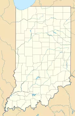
Desoto is an unincorporated community in Delaware Township, Delaware County, Indiana.
History
DeSoto was platted in 1881.[3]
Geography
Desoto is located at 40°14′49″N 85°17′37″W / 40.24694°N 85.29361°W.
References
- ^ a b U.S. Geological Survey Geographic Names Information System: DeSoto, Indiana
- ^ "U.S. Census website". United States Census Bureau. Retrieved 2008-01-31.
- ^ Baker, Ronald L. (October 1995). From Needmore to Prosperity: Hoosier Place Names in Folklore and History. Indiana University Press. p. 113. ISBN 978-0-253-32866-3.
This village was platted on January 8, 1881, and originally called Woodlawn.

