Danielsville | |
|---|---|
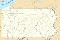
| Coordinates: 40°47′40″N 75°31′38″W / 40.79444°N 75.52722°W | |
| Country | United States |
| State | Pennsylvania |
| County | Northampton County |
| Area | |
| • Total | 15.1 sq mi (39 km2) |
| • Land | 15.1 sq mi (39 km2) |
| • Water | 0.00 sq mi (0.0 km2) |
| Elevation | 682 ft (208 m) |
| Population (2000) | |
| • Total | 3,085 |
| • Density | 200/sq mi (79/km2) |
| Time zone | UTC-5 (EST) |
| • Summer (DST) | UTC-4 (EDT) |
| ZIP code | 18038 |
| Area code(s) | 610 and 484 |
Danielsville is a village northeast of Northampton in Northampton County, Pennsylvania along PA 946. The U.S. postal code (ZIP code) for Danielsville is 18038.
The village lies at the intersection of Route 946 and Blue Mountain Road. Danielsville is named for Charles B. Daniels, a postmaster who operated the Little Gap Slate Quarry.
The population of Danielsville was 3,085 at the 2000 census.
Public education
The village is served by the Northampton Area School District.

