Cossesseville | |
|---|---|
) The church in Cossesseville | |
Location of Cossesseville 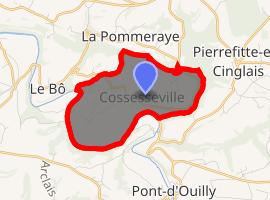 | |
) Cossesseville ) Cossesseville | |
| Coordinates: 48°53′47″N 0°25′06″W / 48.8964°N 0.4183°W | |
| Country | France |
| Region | Normandy |
| Department | Calvados |
| Arrondissement | Caen |
| Canton | Thury-Harcourt |
| Intercommunality | Suisse Normande |
| Government | |
| • Mayor (2008–2014) | Laurence Serrurier |
| Area 1 | 4.74 km2 (1.83 sq mi) |
| Population (Jan. 2017)[1] | 95 |
| • Density | 20/km2 (52/sq mi) |
| Time zone | UTC+01:00 (CET) |
| • Summer (DST) | UTC+02:00 (CEST) |
| INSEE/Postal code | 14183 /14690 |
| Elevation | 38–201 m (125–659 ft) (avg. 150 m or 490 ft) |
| 1 French Land Register data, which excludes lakes, ponds, glaciers > 1 km2 (0.386 sq mi or 247 acres) and river estuaries. | |
Cossesseville is a commune in the Calvados department in the Normandy region in northwestern France.
Population
| Year | Pop. | ±% |
|---|---|---|
| 1962 | 123 | — |
| 1968 | 125 | +1.6% |
| 1975 | 99 | −20.8% |
| 1982 | 83 | −16.2% |
| 1990 | 90 | +8.4% |
| 1999 | 88 | −2.2% |
| 2008 | 108 | +22.7% |
See also
References
- ^ "Populations légales 2017". INSEE. Retrieved 6 January 2020.