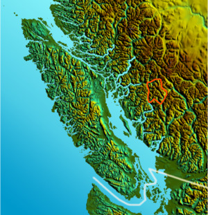
Location map of Clendinning Range
The Clendinning Range is a subrange of the Pacific Ranges of the Coast Mountains of British Columbia. About 1500 km2 (580 sq mi) in area and lies to the northwest of the better-known Tantalus Range near Squamish. Heavily glaciated and very rugged, with severe weather year-round, it is between the valleys of the Elaho River (east) and the Toba River (west).
References
This article is copied from an
article on Wikipedia® - the free encyclopedia created and edited by its online user community. The text was not checked or edited by anyone on our staff. Although the vast majority of Wikipedia® encyclopedia articles provide accurate and timely information, please do not assume the accuracy of any particular article. This article is distributed under the terms of
GNU Free Documentation License.
All content on this website, including dictionary, thesaurus, literature, geography, and other reference data is for informational purposes only. This information should not be considered complete, up to date, and is not intended to be used in place of a visit, consultation, or advice of a legal, medical, or any other professional.
)