Cléville | |
|---|---|
) The church in Cléville | |
Location of Cléville 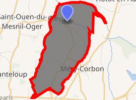 | |
) Cléville ) Cléville | |
| Coordinates: 49°09′24″N 0°05′29″W / 49.1567°N 0.0914°W | |
| Country | France |
| Region | Normandy |
| Department | Calvados |
| Arrondissement | Caen |
| Canton | Troarn |
| Intercommunality | Val ès dunes |
| Government | |
| • Mayor (2008–2014) | Jean-Pierre Chauvel |
| Area 1 | 8.53 km2 (3.29 sq mi) |
| Population (Jan. 2017)[1] | 372 |
| • Density | 44/km2 (110/sq mi) |
| Time zone | UTC+01:00 (CET) |
| • Summer (DST) | UTC+02:00 (CEST) |
| INSEE/Postal code | 14163 /14370 |
| Elevation | 2–43 m (6.6–141.1 ft) (avg. 26 m or 85 ft) |
| 1 French Land Register data, which excludes lakes, ponds, glaciers > 1 km2 (0.386 sq mi or 247 acres) and river estuaries. | |
Cléville is a commune in the Calvados department in the Normandy region in northwestern France.
Population
| Year | Pop. | ±% |
|---|---|---|
| 1962 | 257 | — |
| 1968 | 223 | −13.2% |
| 1975 | 215 | −3.6% |
| 1982 | 242 | +12.6% |
| 1990 | 298 | +23.1% |
| 1999 | 269 | −9.7% |
| 2008 | 340 | +26.4% |
See also
References
- ^ "Populations légales 2017". INSEE. Retrieved 6 January 2020.