| Caraballo Mountains | |
|---|---|
) | |
| Highest point | |
| Elevation | 1,588 m (5,210 ft) |
| Dimensions | |
| Length | 54 km (34 mi) north-south |
| Width | 15 mi (24 km) |
| Area | 1,300 km2 (500 sq mi) |
| Geography | |
.svg.jpg')) | |
| Country | Philippines |
| Provinces | |
| Range coordinates | 16°8′37.8″N 121°10′4.8″E / 16.143833°N 121.168000°E |
| Borders on | |
The Caraballo Mountains is a mountain range in the central part of Luzon island in the Philippines, situated between the Cordillera Central and Sierra Madre mountain ranges. The mountains serve as the location of the headwaters of the Cagayan River, the longest in the country.
Several portions of the mountain range are protected under the National Integrated Protected Areas System, including the Casecnan Protected Landscape and the Pantabangan–Carranglan Watershed Forest Reserve.
Gallery
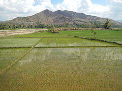
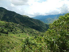
A section of the range at Dupax del Sur
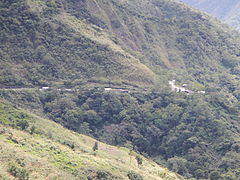
Dalton Pass in Santa Fe
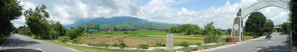
Another view from the fields of eastern Pangasinan
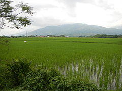
Another view overlooking Dalton Pass
)
)
)
)