Capelle-lès-Hesdin | |
|---|---|
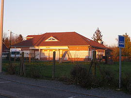
 The town hall of Capelle-lès-Hesdin | |
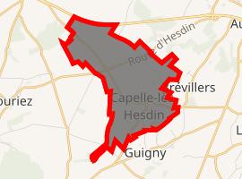
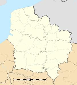
Location of Capelle-lès-Hesdin  | |
| Coordinates: 50°20′32″N 1°59′52″E / 50.3422°N 1.9978°E | |
| Country | France |
| Region | Hauts-de-France |
| Department | Pas-de-Calais |
| Arrondissement | Montreuil |
| Canton | Auxi-le-Château |
| Intercommunality | CC Sept Vallées |
| Government | |
| • Mayor (2020–2026) | Francis Capron |
| Area 1 | 5.56 km2 (2.15 sq mi) |
| Population (Jan. 2017)[1] | 485 |
| • Density | 87/km2 (230/sq mi) |
| Time zone | UTC+01:00 (CET) |
| • Summer (DST) | UTC+02:00 (CEST) |
| INSEE/Postal code | 62212 /62140 |
| Elevation | 65–131 m (213–430 ft) (avg. 102 m or 335 ft) |
| 1 French Land Register data, which excludes lakes, ponds, glaciers > 1 km2 (0.386 sq mi or 247 acres) and river estuaries. | |
Capelle-lès-Hesdin is a commune in the Pas-de-Calais department in the Hauts-de-France region of France.
Geography
A village situated some 17 miles (27 km) southeast of Montreuil-sur-Mer on the D134 road.
Population
| Year | 1962 | 1968 | 1975 | 1982 | 1990 | 1999 |
|---|---|---|---|---|---|---|
| Population | 300 | 307 | 317 | 339 | 367 | 407 |
| From the year 1962 on: No double counting—residents of multiple communes (e.g. students and military personnel) are counted only once. | ||||||
See also
References
- ^ "Populations légales 2017". INSEE. Retrieved 6 January 2020.


