Wikipedia

Burntside, Minnesota

Burntside
Burntside is located in Minnesota
Burntside
Burntside
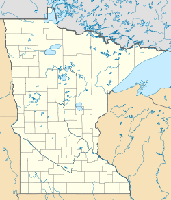
Location of the community of Burntside
within Morse Township, Saint Louis County
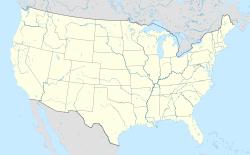
Burntside is located in the United States
Burntside
Burntside
Burntside (the United States)
Coordinates: 47°53′40″N 91°55′44″W / 47.89444°N 91.92889°W
CountryUnited States
StateMinnesota
CountySaint Louis
TownshipMorse Township
Elevation
1,391 ft (424 m)
Time zoneUTC-6 (Central (CST))
 • Summer (DST)UTC-5 (CDT)
ZIP code
55731
Area code(s)218
GNIS feature ID660917[1]

Burntside is an unincorporated community in Morse Township, Saint Louis County, Minnesota, United States.

The community is located three miles west of Ely, near the junction of State Highway 169 (MN 169) / State Highway 1 (MN 1), and Saint Louis County Road 88 (Grant–McMahan Boulevard).

Burntside Lake and Shagawa Lake are in the vicinity.

References
  1. ^ "Burntside, Minnesota". Geographic Names Information System. United States Geological Survey.


This article is copied from an article on Wikipedia® - the free encyclopedia created and edited by its online user community. The text was not checked or edited by anyone on our staff. Although the vast majority of Wikipedia® encyclopedia articles provide accurate and timely information, please do not assume the accuracy of any particular article. This article is distributed under the terms of GNU Free Documentation License.

Copyright © 2003-2025 Farlex, Inc Disclaimer
All content on this website, including dictionary, thesaurus, literature, geography, and other reference data is for informational purposes only. This information should not be considered complete, up to date, and is not intended to be used in place of a visit, consultation, or advice of a legal, medical, or any other professional.