Auma | |
|---|---|
Stadtteil of Auma-Weidatal | |
) Coat of arms | |
Location of Auma 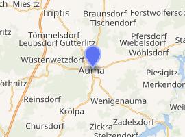 | |
) Auma ) Auma | |
| Coordinates: 50°42′N 11°54′E / 50.700°N 11.900°E | |
| Country | Germany |
| State | Thuringia |
| District | Greiz |
| Town | Auma-Weidatal |
| Area | |
| • Total | 30.98 km2 (11.96 sq mi) |
| Elevation | 394 m (1,293 ft) |
| Population (2010-12-31) | |
| • Total | 3,033 |
| • Density | 98/km2 (250/sq mi) |
| Time zone | UTC+01:00 (CET) |
| • Summer (DST) | UTC+02:00 (CEST) |
| Postal codes | 07955 |
| Dialling codes | 036626 |
| Vehicle registration | GRZ |
| Website | www |
Auma is a town and a former municipality in the district of Greiz, in Thuringia, Germany. Since 1 December 2011, it is part of the municipality Auma-Weidatal. It is situated 24 km southwest of Gera.
History
Within the German Empire (1871-1918), Auma was part of the Grand Duchy of Saxe-Weimar-Eisenach.
References
External links