| Ashbourne Victoria | |
|---|---|
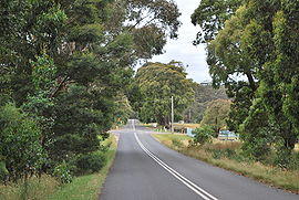
 Looking at Ashbourne from the west. The Campaspe River is in the background. | |
| Coordinates | 37°23′13″S 144°26′46″E / 37.38694°S 144.44611°E |
| Population | 196 (2016 census)[1] |
| Postcode(s) | 3442 |
| Elevation | 630 m (2,067 ft) |
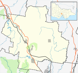
| Location | |
| LGA(s) | Shire of Macedon Ranges |
| State electorate(s) | Macedon |
| Federal Division(s) | Bendigo, McEwen |
Ashbourne is a small town in Victoria, Australia. It is located on Falloons Road in the Shire of Macedon Ranges, to the west of Woodend. At the 2016 census, Ashbourne and the surrounding area had a population of 196.[1]
Ashbourne Post Office opened on 16 December 1899 (known as Campaspe until 1900).[2]
References
- ^ a b "2016 Census QuickStats Ashbourne". Australian Bureau of Statistics. Retrieved 12 January 2019.
- ^ Premier Postal History, Post Office List, retrieved 11 April 2008
