| Aghla Beg | |
|---|---|
| Eachla Beag | |
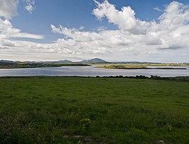
 View across Mulroy Bay towards Aghla Beg and Muckish | |
| Highest point | |
| Elevation | 603 m (1,978 ft) |
| Listing | Marilyn |
| Coordinates | 55°04′07″N 8°03′20″W / 55.068710°N 8.055573°W |
| Naming | |
| English translation | small look-out |
| Language of name | Irish |
| Geography | |
| Location | Donegal, Republic of Ireland |
| Parent range | Seven Sisters |
| OSI/OSNI grid | B965246 |
| Topo map | OSi Discovery 2 |
Aghla Beg (Irish: Eachla Beag) is a mountain in County Donegal, Ireland. Of its two summits, one has a height of 564 metres (1,850 ft), and the other, Aghla Beg South Top 602 metres (1,975 ft).
Geography

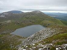
View from Aghla More across Lough Feeane towards the two summits of Aghla Beg. Behind them, Muckish is visible.
The mountain is the third-most northern and fifth-highest of the mountain chain, called the Seven Sisters by locals: Muckish, Crocknalaragagh, Aghla Beg, Ardloughnabrackbaddy, Aghla More, Mackoght (also known as 'little Errigal') and Errigal. The Seven Sisters are part of the Derryveagh Mountains.
External links
